





Professional surveying, mapping and geospatial solutions for roads, railways, power, irrigation, urban development and industrial projects.
INTECH ENGINEERS was established in 2004 to provide professional services using modern technology and precise work in land surveying and GIS mapping. The company has supported topographical, layout, demarcation, contour and hydrological survey requirements across highways, railways, power, farming, revenue, urban development and irrigation projects.
Read company profile →



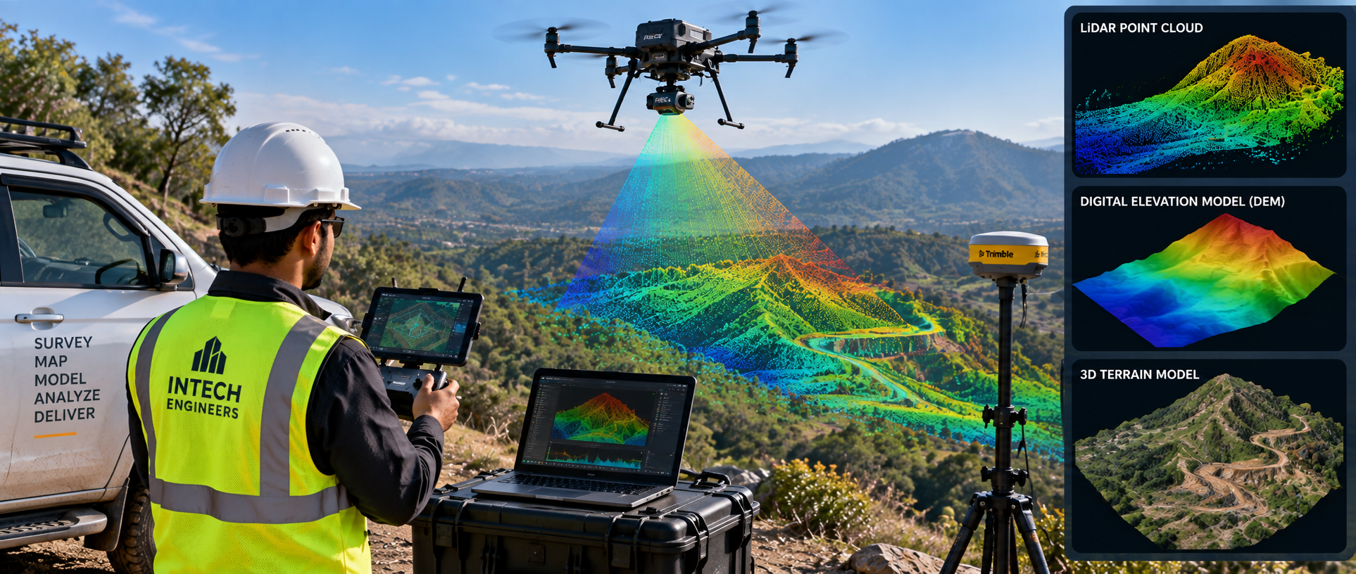
Fast aerial capture, orthomosaics and project monitoring.
View service →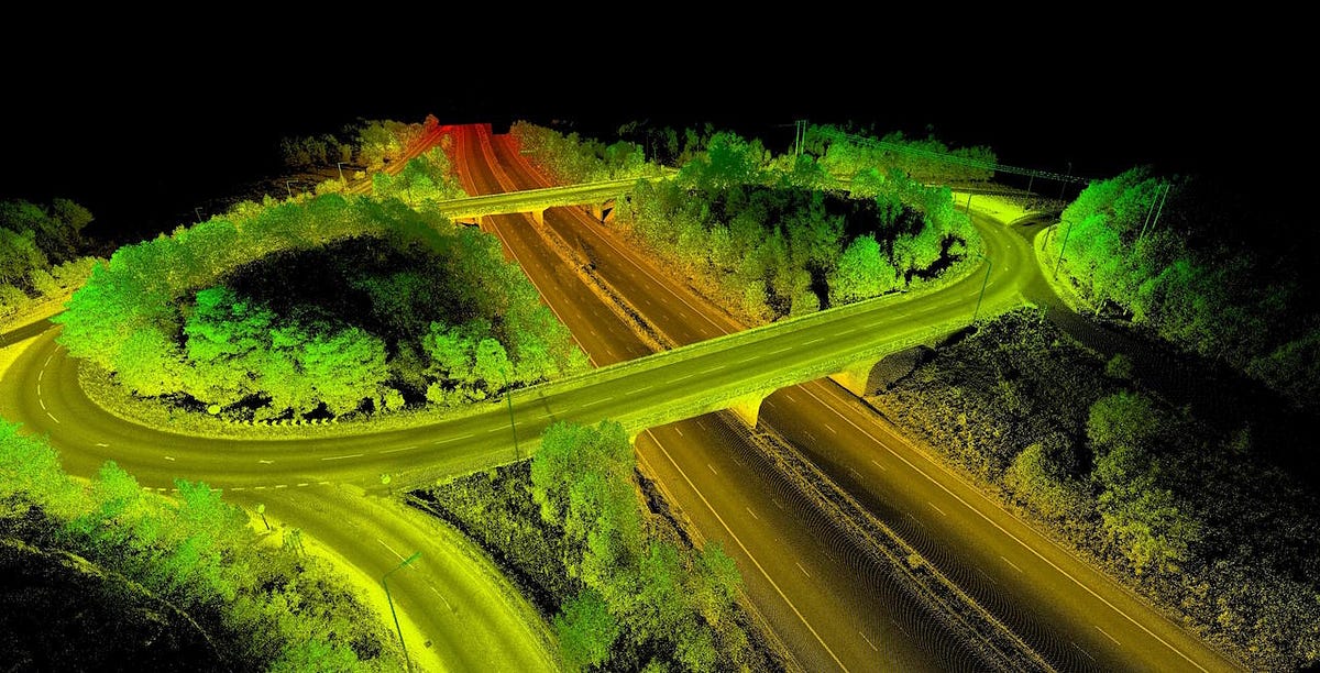

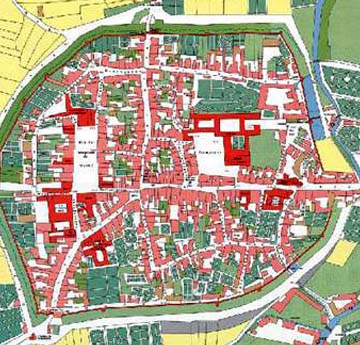

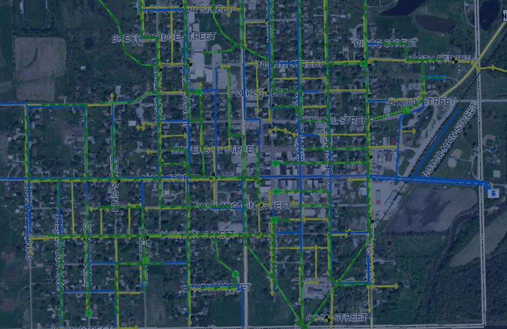
Spatial databases, mapping and decision-ready information.
View service →

Functional planning, interiors and 3D visualisation.
View service →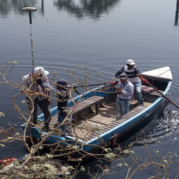

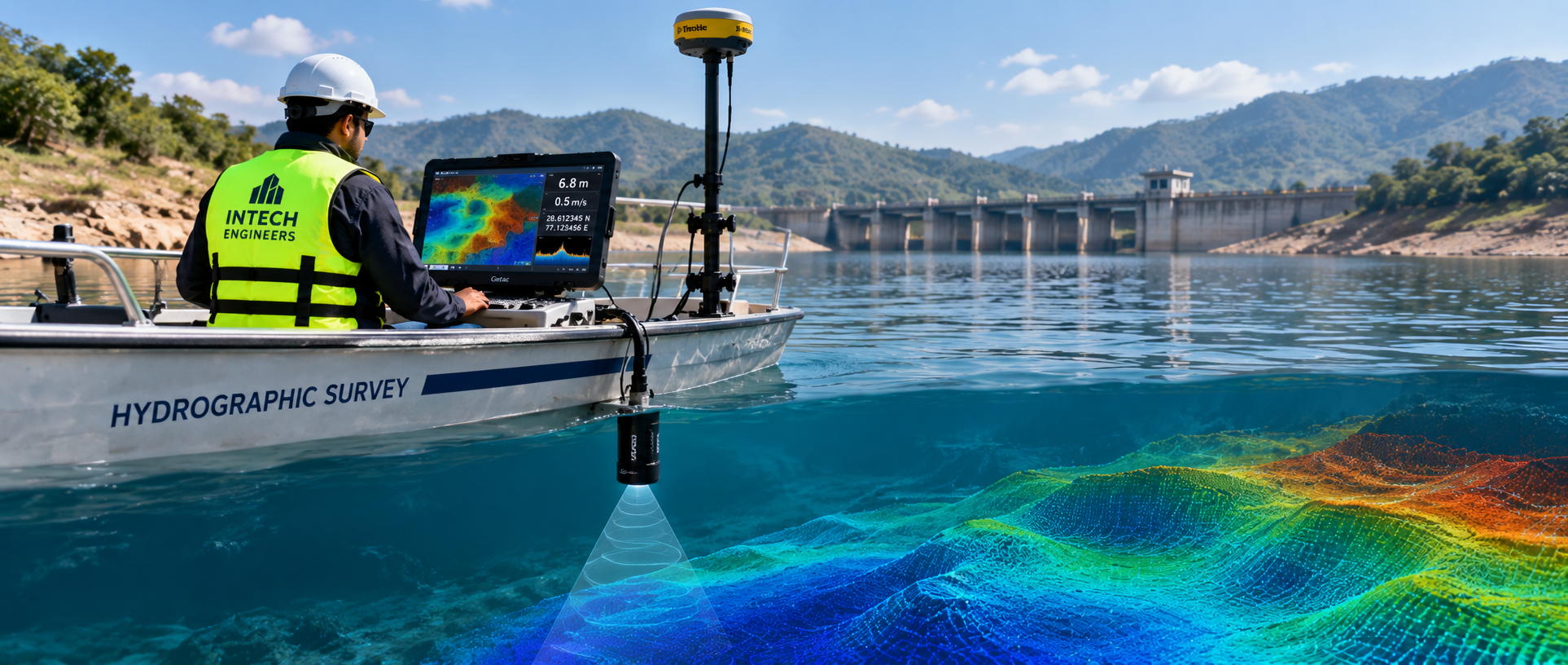
Survey support for drains, rivers and water bodies.
View service →

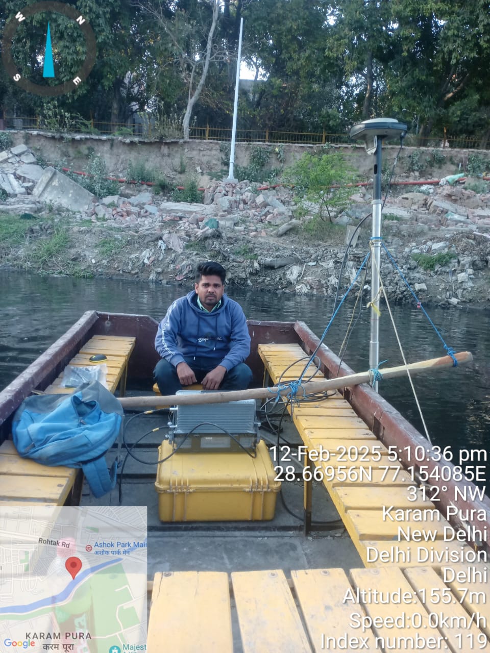
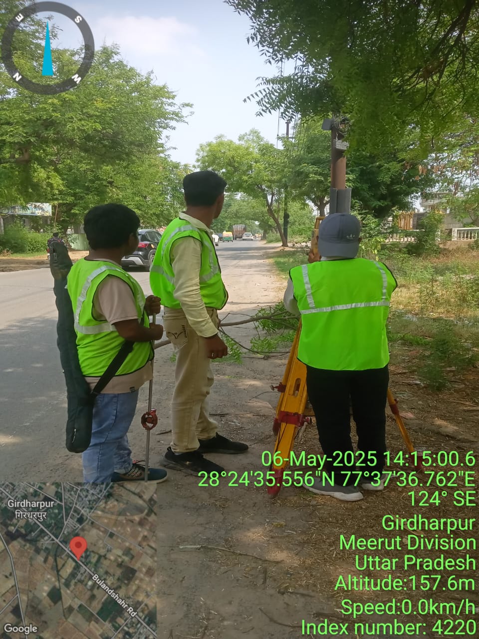
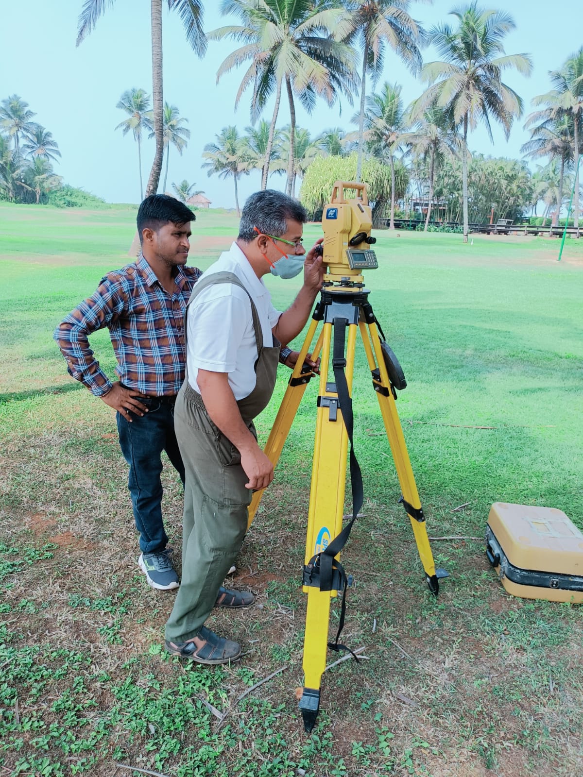
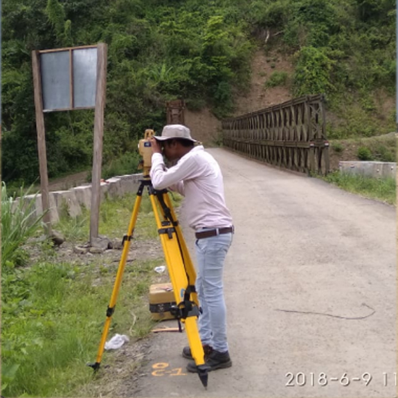
Our surveying, mapping and geospatial work supports public departments, infrastructure companies and major project partners.




















Share the location, survey type and expected deliverables. We will take it from there.