
Professional surveying with a practical engineering mindset.
INTECH ENGINEERS was established in 2004 with a view to provide professional services with latest technology and precise work in the field of Land Surveying and GIS Mapping.
Services have included Topographical Survey, Lay-out Survey, Demarcation Survey, Contour Survey and Hydrological Survey across highways, railways, solar power projects, farming, revenue, urban development and irrigation sectors using DGPS, Total Station and Drone survey instruments.
The company also provides architectural design services and supports infrastructure development with consistent service delivery.
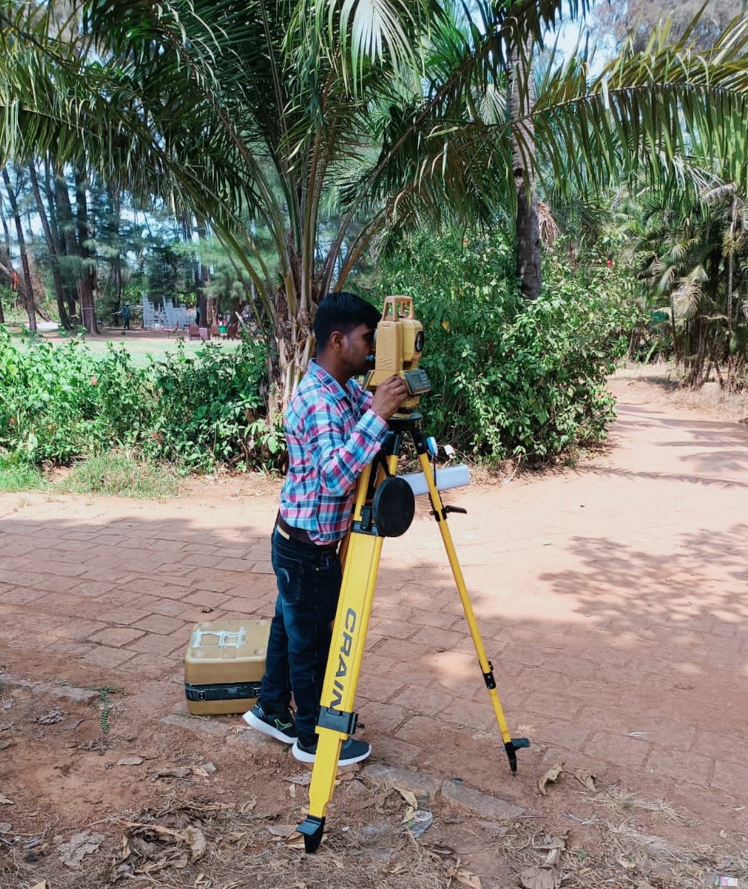
Precision
Structured field capture and careful documentation.
Technology
DGPS, Total Station, UAV, GIS and modern processing workflows.
Practical delivery
Outputs shaped around the needs of engineering teams and clients.
Explore the complete company profile.
Download the official INTECH ENGINEERS company profile for an overview of our expertise, services, equipment and project experience.